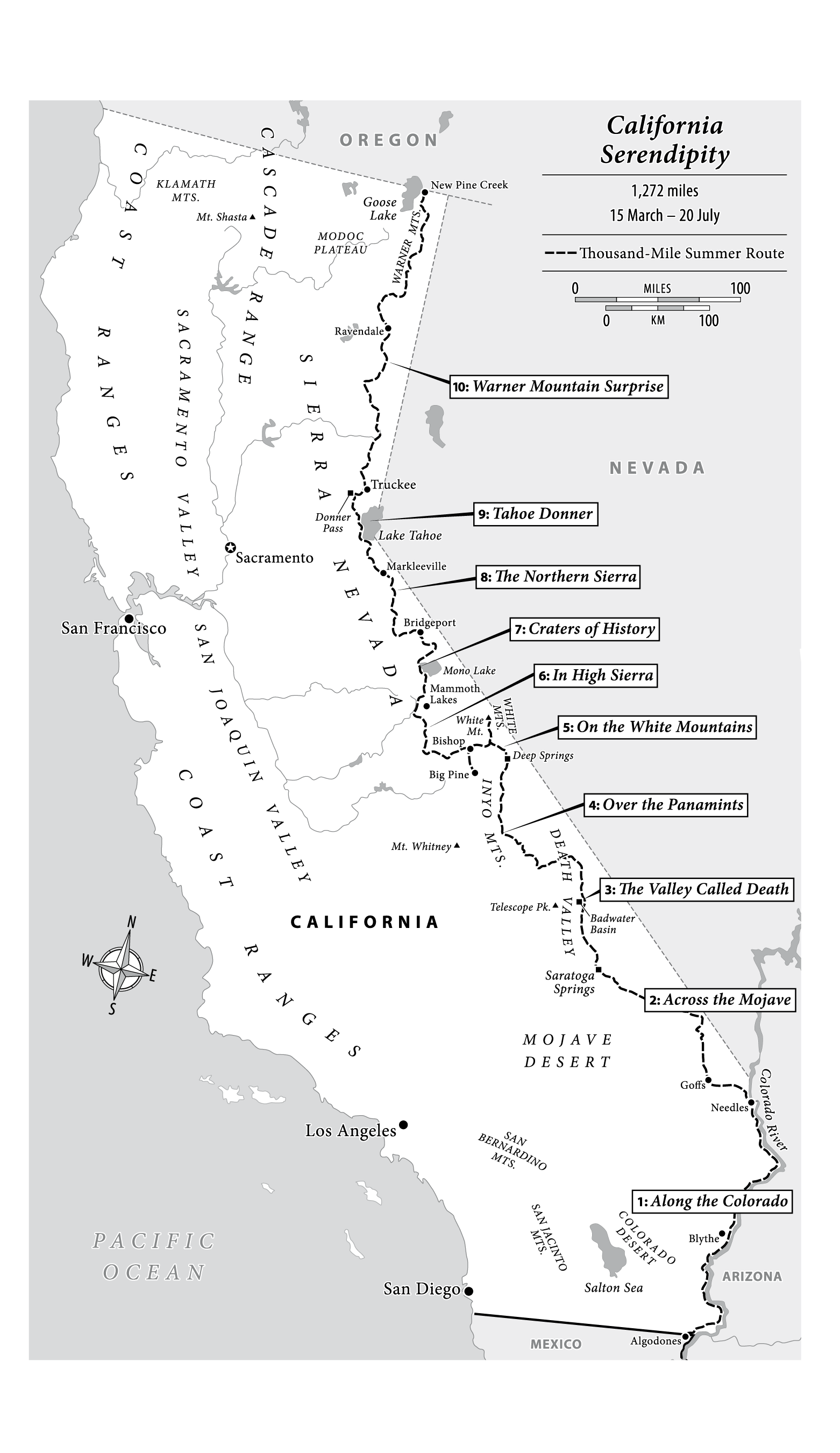
Map of the Thousand-Mile Summer + set of 10 detailed hiking maps (water-resistant). All maps designed by cartographer for several of Colin Fletcher’s books David Lindroth.

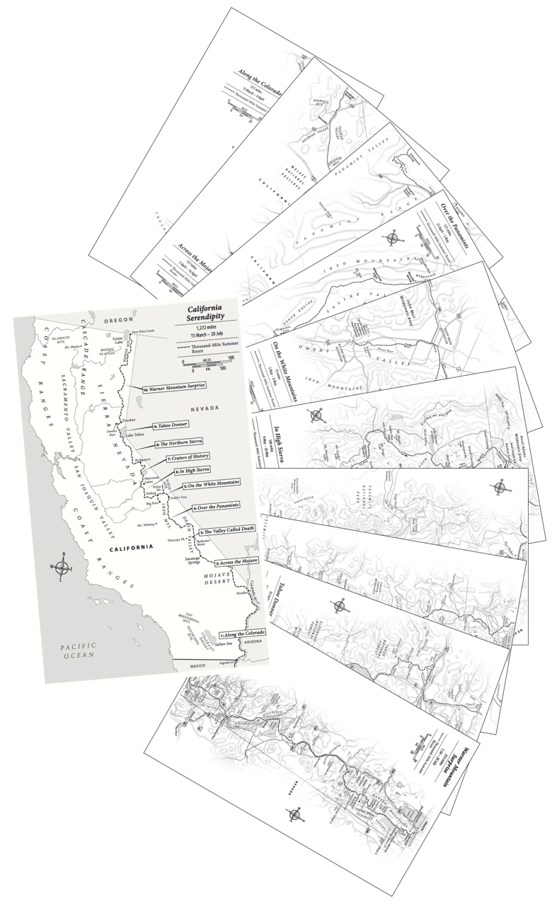
To order the set of ten maps + overview, click here
- Along the Colorado (Algodones, MEXICO, paralleling the river where possible, to Needles)
- Across the Mojave (Sacramento Hills to Goffs, home of the MDHCA, crossing the Mojave preserve to Silurian Hills)
- The Valley Called Death (Saratoga Springs, Amargosa Valley and Death Valley, to Stovepipe Wells)
- Over the Panamints (Lemoigne & Cottonwood Canyons, Hunter Mt., Saline & Eureka Valleys, to Deep Springs)
- On the White Mountains (Wyman Canyon, Bristlecone Pine Forest, White Mountain Summit, Silver Canyon, to Big Pine)
- In High Sierra (Owen’s Valley, Piute Pass, Selden Pass, Silver Pass, Mammoth Pass, to Mammoth Lakes)
- Craters of History (Mono Craters, Mono Lake, Bodie, to Bridgeport)
- The Northern Sierra (East Walker River, Buckeye Canyon, West Walker River, Sonora, Silver King, to Markleeville)
- Tahoe Donner (Lake Tahoe, Donner Pass, Truckee, to Honey Lake)
- Warner Mountain Surprise (South Warner Wilderness, Summit Trail, Surprise Valley, Highgrade, to New Pine Creek, OREGON)
- Overview: The Thousand-Mile Summer (from the Mexican border to Oregon)
Colin Fletcher’s original hiking maps
